Unused files
The following files exist but are not embedded in any page. Please note that other web sites may link to a file with a direct URL, and so may still be listed here despite being in active use.
Showing below up to 50 results in range #901 to #950.
View (previous 50 | next 50) (20 | 50 | 100 | 250 | 500)
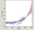
- SeaLevelRise IPCC AR5.jpg 848 × 759; 87 KB
- BruunRule.jpg 1,468 × 865; 199 KB
- DefinitionsCoastalTerms.jpg 1,716 × 979; 150 KB
- WorldDomM2.png 1,500 × 750; 76 KB
- WorldmapM4.png 1,500 × 750; 150 KB
- TidalBorePetitcodiacRiver.jpg 1,444 × 786; 521 KB
- NAO NCAR 2018.jpg 999 × 552; 114 KB
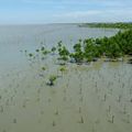
- MangroveRestorationThailand.jpg 375 × 376; 28 KB
- AdaptationMeasuresUSAID.jpg 1,255 × 1,653; 911 KB
- First MSSA component standing wave part a.jpg 605 × 469; 65 KB
- First MSSA component standing wave part b.jpg 605 × 469; 51 KB
- Second MSSA component standing wave part a.jpg 605 × 469; 61 KB
- Second MSSA component standing wave part b.jpg 605 × 469; 55 KB
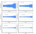
- Spectral bands with residual slow-varying components.jpg 601 × 469; 104 KB
- Spectral bands with water wave components.jpg 625 × 588; 124 KB
- PrismaticTidalFlatChannel.jpg 988 × 492; 48 KB
- SeineBore.jpg 1,376 × 808; 407 KB
- TidalBoreKamparRiver.jpg 1,195 × 549; 265 KB
- UndularTidalBoreGaronne.jpg 1,469 × 638; 336 KB
- ElevationVelocityGaronneTidalBore.jpg 1,147 × 572; 124 KB
- SedimentTideSaintMichel.jpg 2,300 × 936; 512 KB
- UndularBoreModel.jpg 980 × 794; 90 KB
- PetitcodiacRiver Credit Jim Hoffman.jpg 1,600 × 1,066; 349 KB
- EquilibriumTidalLagoons.jpg 1,550 × 882; 203 KB
- TidalBoreFormation TidalFlat.jpg 1,969 × 690; 103 KB
- TidalFlatBoreFormation-MorecambeBay.jpg 2,924 × 690; 241 KB
- SedimentTideBoreSaintMichel.jpg 3,696 × 934; 731 KB
- GaronneOndularBoreDiffraction.jpg 1,084 × 359; 99 KB
- PetitcodiacRiver2.jpg 1,514 × 855; 275 KB
- M2EnergyDissipation.jpg 774 × 348; 117 KB
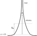
- ConvergingTidalChannel.jpg 661 × 654; 28 KB
- CrestRotationNEW.jpg 415 × 451; 23 KB
- SaltWedge.jpg 1,342 × 485; 58 KB
- EstuaryIsohalines.jpg 1,488 × 381; 71 KB
- WorldMapColdWaterCoralReef.jpg 1,023 × 665; 164 KB
- DuneFootRecovery1953.jpg 1,237 × 607; 81 KB
- SeawaterIntrusionScheme1.jpg 1,891 × 960; 85 KB
- SeawaterIntrusionScheme2.jpg 1,891 × 955; 206 KB
- AbstractionUpconing.jpg 1,890 × 959; 92 KB
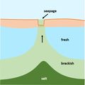
- SeepageUpconing.jpg 850 × 851; 37 KB
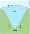
- SeepageMechanisms.jpg 1,754 × 1,035; 183 KB
- HydraulicBarrier.jpg 1,891 × 959; 103 KB
- PaleochannelInfiltration.jpg 798 × 908; 43 KB
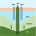
- FreshMakerSystem.jpg 850 × 851; 55 KB
- SaltFreshBalance.jpg 394 × 730; 32 KB
- BalanceSaltFresh.jpg 1,079 × 769; 65 KB
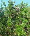
- AcaciaSophorae.jpg 445 × 520; 110 KB
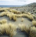
- PoaBillardierei.jpg 810 × 841; 83 KB
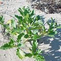
- Cakile.jpg 373 × 373; 69 KB
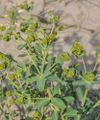
- EuphorbiaTerracina.jpg 414 × 496; 59 KB
